
Setshwantsho:South Africa Free State relief location map.svg

Size of this PNG preview of this SVG file: 672 × 599 pixels. Tse dingwe resolutions: 269 × 240 pixels | 538 × 480 pixels | 861 × 768 pixels | 1,148 × 1,024 pixels | 2,296 × 2,048 pixels | 1,130 × 1,008 pixels.
Faele ya konokono (SVG file, nominally 1,130 × 1,008 pixels, file size: 2.24 MB)
| Tlhaloso |
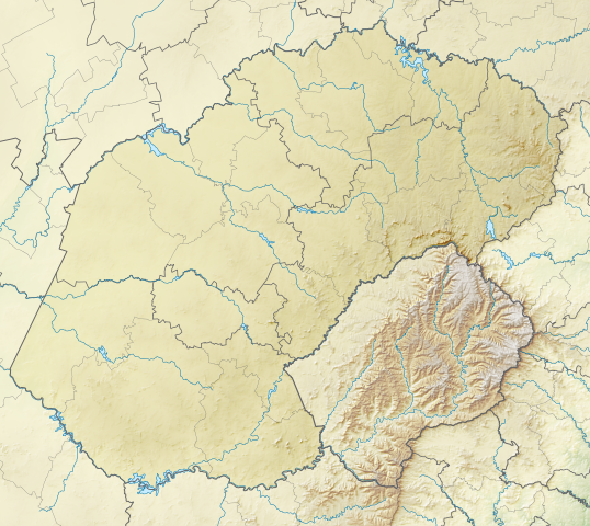
English: Relief location map of the Free State
Equirectangular projection, N/S stretching 114%. Geographic limits of the map:
|
| Letsatsi | |
| Motswedi | |
| Mokwadi | Htonl |
| Teta (Reusing this file) |
I, the copyright holder of this work, hereby publish it under the following license: This file is licensed under the Creative Commons Attribution-Share Alike 3.0 Unported license.
|
| Other versions | File:South Africa Free State location map.svg |
Segologolo sa setshwantsho
Tbetsa letsatsi/nako go bone faele jaaka ene e ntse ka nako eo.
| Letsatsi/Nako | Thumbnail | Dikarolwana | Modirisi | Comment | |
|---|---|---|---|---|---|
| ya jaanong | 01:58, 6 Firikgong 2013 | | 1,130 × 1,008 (2.24 MB) | Htonl | {{Information |Description ={{en|1=Relief location map of the Free State Equirectangular projection, N/S stretching 114%. Geographic limits of the map: * N: 26.5° S * S: 31° S * W: 24.25° E * E: 30° E}} |Source ... |
Tiriso ya setshwantsho
The following page uses this file:
Tiriso ya file ka karetso
Di wiki tse dingwe di dirisa setshwantsho se
- Dirisa mo ar.wikipedia.org
- Dirisa mo bg.wikipedia.org
- Dirisa mo ceb.wikipedia.org
- Dirisa mo de.wikipedia.org
- Dirisa mo en.wikipedia.org
- Phuthaditjhaba
- 1 Special Service Battalion
- Golden Gate Highlands National Park
- Caledon Nature Reserve
- Sandveld Nature Reserve
- Koppies Dam Nature Reserve
- Koppies Dam
- Module:Location map/data/South Africa Free State/doc
- Willem Pretorius Game Reserve
- Kroonstad Airport
- Module:Location map/data/South Africa Free State
- Schoeman Park Open
- 2022 Jagersfontein dam collapse
- Dirisa mo eo.wikipedia.org
- Dirisa mo es.wikipedia.org
- Dirisa mo frr.wikipedia.org
- Dirisa mo fr.wikipedia.org
- Dirisa mo he.wikipedia.org
- Dirisa mo ja.wikipedia.org
- Dirisa mo kn.wikipedia.org
- Dirisa mo lv.wikipedia.org
- Dirisa mo os.wikipedia.org
- Dirisa mo pl.wikipedia.org
- Dirisa mo pl.wikibooks.org
- Dirisa mo ru.wikipedia.org
- Dirisa mo si.wikipedia.org
View more global usage of this file.